Recently Silja Märdla defended her doctoral thesis “Regional geoid modelling by the least squares modified Hotine formula using gridded gravity disturbances” at the Department of Civil Engineering and Architecture of the School of Engineering.
The supervisor of the doctoral thesis, Professor of Geodesy at the School of Engineering Artu Ellmannsays, “The doctoral thesis investigated gridding related issues of gravity disturbancies, geoid modelling by the so far little used Hotine formula and geoid model validation in marine areas. All the case studies in the doctoral thesis concern the Nordic-Baltic region in Europe, while the findings are applicable in any regional geoid modelling task elsewhere.”
Geoid is an equipotential surface of the Earth’s gravity field, best reflected in the nature by the ocean surface in the “idealistic” absence of tides, winds and other influences. The geoid height can be determined from measurements of gravity acceleration on the Earth. Due to inhomogeneities in the Earth’s interior masses, the shape of the geoid is rather irregular: the geoid heights with respect to a mathematical reference ellipsoid vary in the range of ± 100 m, globally.
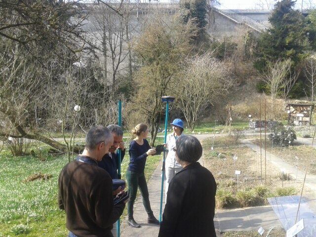
Besides containing information on the Earth’s structure and geodynamic processes, geoid models have a very practical application. In engineering and natural sciences depths and heights are usually measured from the mean sea level (in Estonia with respect to the level of Kronstadt sea gauge, up to Dec. 31, 2017). Geodetic heights derived from modern satellite technologies, e.g. GPS, are referred to the Earth reference ellipsoid. Heights required for engineering applications can be calculated from GPS measurements by using an accurate geoid model.
“GNSS (Global Navigation Satellites System) enables height determination at the centimetre level accuracy, so an equivalent geoid model is needed. Height determination at the centimetre level accuracy is extremely important in the modern society. Functioning of the built environment largely relies on the correct locations of its parts. Buildings, roads, bridges and technical utilities need to fit together with each other and the surrounding landscape,” Ellmann explains, “especially when it comes to drainage for sewage and rainwater.”
Professor Artu Ellmann: “Using GNSS for heighting is simple and fast, especially when compared to time-consuming and labour-intensive levelling. Therefore, GNSS is increasingly being used at all stages of construction. Use of fast and sufficiently reliable GNSS surveys allows reduction of the construction budget. The findings of the research can be used to improve the new geoid model for Estonia. Compared to the previous national model, improvement of the accuracy of several centimetres can be expected in several places. Estonia is adopting the new height system based on EVRS (the European Vertical Reference System) from 1 January 2018 and a new more accurate geoid model has been taken into use, the quality improvements of which are also due to Silja Märdla´s doctoral thesis.”
The supervisor of the doctoral thesis was Professor Artu Ellmann.
The opponents were Professor Martin Vermeer (Aalto University) and Professor Riccardo Barzaghi (Politecnico di Milano).
The doctoral thesis defended by Silja Märdla has been published in the digital collection of TTÜ library: https://digi.lib.ttu.ee/i/?9130
Additional information: Professor Artu Ellmann, artu.ellmann@ttu.ee
Original post by Tallinn University of Technology