The researchers of the Department of Marine Systems at TalTech have created a reliable prototype which allows the location and extent of the floods to be predicted and determined. At the request of the Environment Agency, it will be transformed into a service suitable for average users.
One of the objectives of the service is the routine detection of floods using satellite images. The second objective is the prediction of the duration and area of the flooding based on statistics.
The work is set to be completed in June 2023 and the users of the service will be both operational agencies – the Estonian Rescue Board, the Estonian Transport Administration – as well as members of the wider public who are interested in flooding information, primarily from a nature tourism point of view.
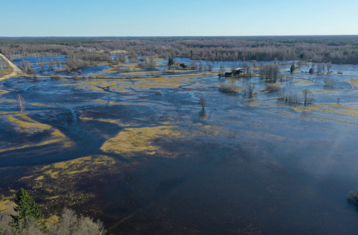
According to senior research fellow Liis Sipelgas, the prototype is based on the operative processing and analysis of the remote sensing data. “For instance, if a satellite flies over Estonia at 6 a.m., then after a couple of hours everyone will be able to see on the website of the Environment Agency a map showing the extent of the flooding. Additionally, the prototype allows for the mapping of areas that have been repeatedly covered with water during the year, thus providing essential information to local governments in processing plans and determining construction conditions.”

“It is necessary to introduce the use of remote sensing data because the warmer autumn-winters caused by climate change have brought about floods that affect forest management, nature tourism and ecosystems on a wider scale. In order to assess the impact and risks of flooding, the state needs an overview of their extent and duration,” Agne Aruväli from the Ministry of the Environment points out.
Because there is no hydrometric network covering the whole of Estonia at present, satellite monitoring is a suitable alternative. Katriin Kapteinfrom the Environment Agency explains: “It is not cost-efficient to set up water level monitoring stations by all bodies of water. Remote sensing helps to remedy shortcomings in flood monitoring. Therefore, the Environment Agency is increasingly exploring new ways to implement remote sensing.”
According to Liis Sipelgas, the researchers are also considering transforming other prototypes of the RITA remote sensing project into a state service, for example, the monitoring of deposits to assess mining operations, the operational use of satellite images to map climate change, and the use of remote sensing data to supplement the fire hazard map.
The development of the remote flood sensing service was commissioned by the Environment Agency and funded by the Ministry of the Environment.
The article was initially published in English by Tallinn University of Technology.