A new model shows what happens in the Baltic Sea in case of an oil accident.
Oil and gas pipelines cover our planet like a spiderweb. Oil is being transported and extracted from the sea. This pumped liquid is everywhere, and it’s a health hazard. Accidents happen.
In the US, about 137 oil spills were recorded in 2018. Most minor sea-based oil pollution – accidental or deliberate – comes from shipping activities or offshore platforms. Oil could seep through old shipwrecks. Oil rigs could explode or break.
Once any of that happens, rescue services have to react immediately, in a matter of hours.
One of the most famous oil spills took place in 2010 in the Gulf of Mexico, where the BP oil rig exploded and sank. Eleven people died, many clean-up workers and coastal residents fell ill, and fish and birds suffered.
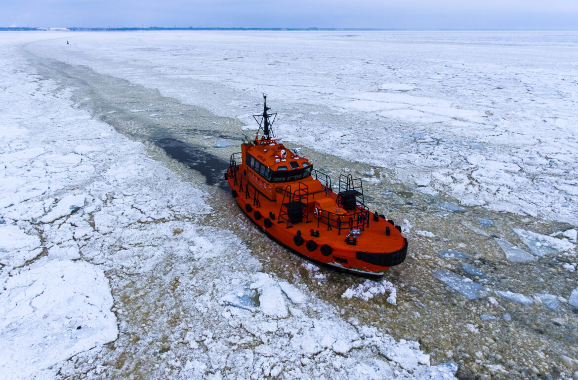
Making the sea safer and cleaner
Cleaning up oil is complex. It spreads and disperses in the constantly moving water. The slick doesn’t just wait to be scooped out. Therefore, rescue services need innovative solutions to work with.
There are many models and platforms used across the globe to calculate the movements of a possible oil spill. But when it comes to the Baltic Sea – an inland sea with a lot of coastline and limited water exchange – the options are more limited. Currently, rescue services mostly use SeaTrack Web, but it gives less control. The users cannot insert their own meteorological and oceanographic data, limiting the platform. A Norwegian open-source platform OpenDrift, gives researchers more possibilities to build on each other’s knowledge.
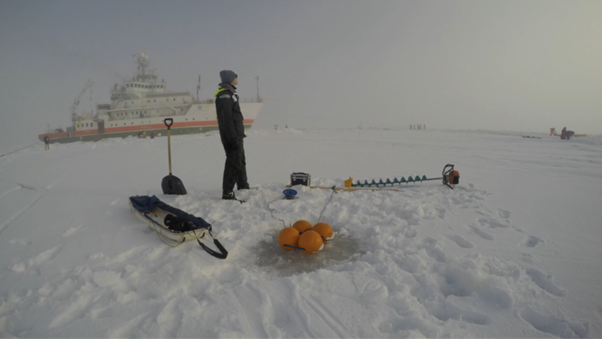
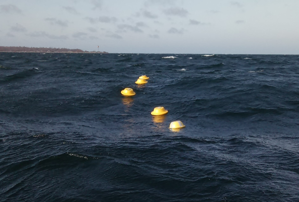
That’s what this Estonian research group at the Tallinn University of Technology (TalTech) did. As part of his PhD studies, a marine researcher, Siim Pärt, conducted various experiments and added more local, high-resolution data to OpenDrift to make it more precise for the Baltic Sea. The authors combined the data on wind, different characteristics of the seawater, and waves. They used drifting wave buoys to simulate the oil spill.
The study group’s article was published in the prestigious Marine Pollution Bulletin in October 2023.
“We tested our data in the Baltic Sea,” said Pärt. “Until now, all the research was done in the oceans. We did this research for safer and cleaner water for everyone.”
In the event of an oil spill, response operations, including modeling the spill’s trajectory, are most critical within the first few days, the authors wrote.
The researchers chose three locations with a high probability of oil spills for hypothetical spill case studies. They found that incorporating other forcing factors in addition to the wind, such as Stokes drift and currents, generally improved the accuracy of the OpenDrift simulations.
Baltic Sea as a testing ground
All this doesn’t mean that their research only applies to the Baltic Sea. On the contrary. “The Baltic could be the test bed for the bigger oceans, concluded Jan-Victor Björkqvist, a wave researcher at the Norwegian Meteorological Institute. “In the global arena, the Baltic Sea is often a forgotten area,” he says regretfully. “Even though it could be a great place for creating new knowledge.” He is the co-supervisor of Pärt’s PhD study.
“The Baltic Sea is a little more controlled than the oceans,” Björkvist explained. “Far out in the open ocean, you can calculate the movement of the oil particles from the wind because the wind and the waves are closely connected, but when we come close to the shore, and most of the Baltic Sea is close to the shore, then this relationship changes a little bit. It should be considered in those models.”
Taltech’s model setup is more precise and could be applied in other regions.
“If we don’t do the research ourselves in the Baltic Sea countries, nobody will do that for us,” said Björkqvist. “This study shows that the dedicated models we use have value.”
The Baltic Sea is like a giant wet laboratory where you can run tests and apply the results globally. The same model can be used not only for oil spills but also for lost people in the sea.
And we must think about the oil spills now, not when it already happened. It could then be too late.
Written by: Marian Männi. This article was funded by the European Regional Development Fund through Estonian Research Council.